In 2025, a bridge over the Patuxent River completed the WB&A Trail between Anne Arundel and Prince George’s counties. It took over 30 years for the two counties to work together to complete the trail. When I learned of the completion, I decided to take a Friday afternoon to check it out. I traveled by MARC Rail to get there.
READ MORE: New WB&A Trail Patuxent River Bridge strengthens Maryland’s East Coast Greenway link
Anne Arundel County

The trail head is about ½ mile from Odenton station. Ride east on Odenton Road and cross Piney Branch Parkway. The trail begins on the right corner across Piney Branch without fanfare. There are a few signs indicating a trail but nothing indicating it’s the terminus. It’s a bit underwhelming.
Initially following Piney Branch Parkway, the WB&A branches off into leafy, railway right of way after about ¼ mile. The first major road crossing at Waugh Chapel Road is a little confusing. The crosswalk is south of the intersection with Old Waugh Chapel Road – probably a legacy of previous alignment – is a bit confusing. The East Coast Greenway sign is still posted at the crosswalk.

After Waugh Chapel the trail proceeds in a straight line for nearly three miles with sidetrails connecting to subdivisions. Beyond Strawberry Lake Way, the landscape shifts marshes, ponds and the Little Patuxent River.
Under high-tension power lines1, the WB&A curves up to Conway Road which it then parrallels for about ¾ mile. Crossing Conway, the trail descends to the Patuxent River several hairpin turns. It’s fun to ride down to the new bridge. Though river isn’t wide here, but the flood plain is but that’s no reason it should have taken three decades to complete this section.2


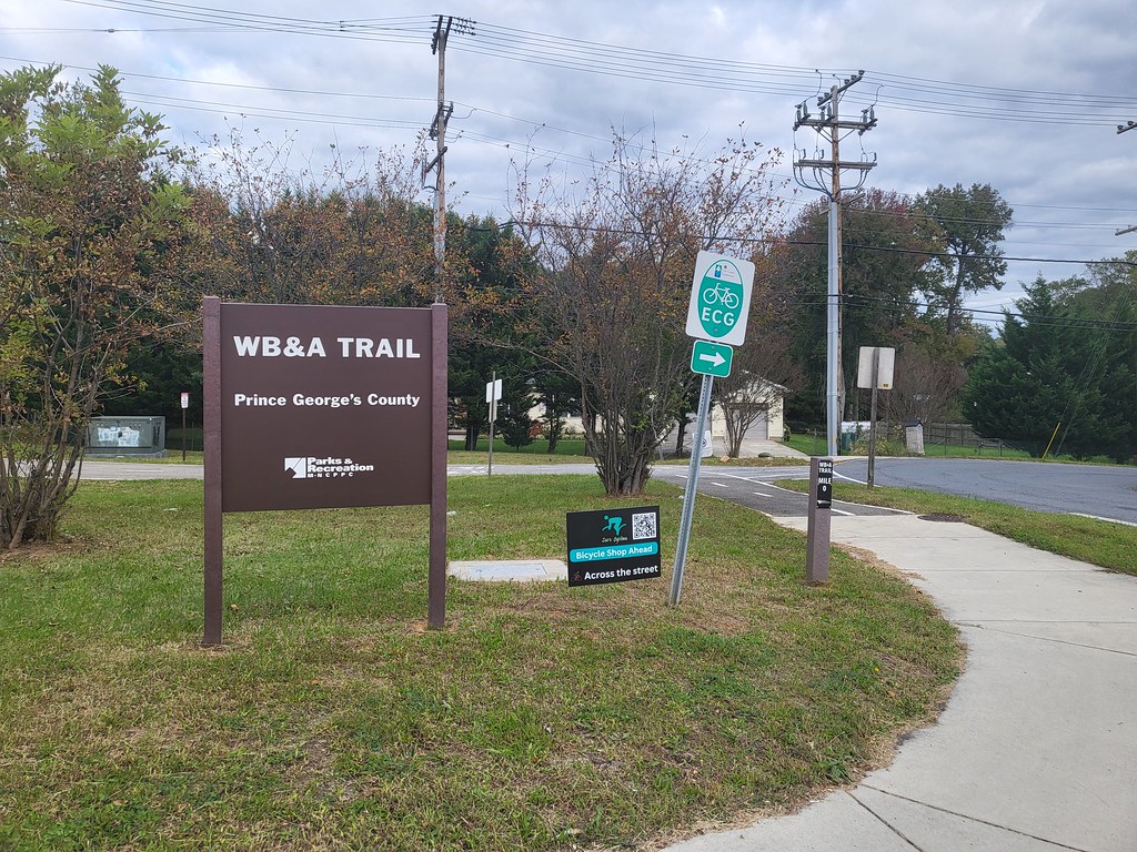
Prince George’s County
The Patuxent is the border between the two counties. Wayfinding generally improves with trail markings – good job PG Parks.3 There was a little confusion as some signs for the WB&A Spur were still posted. I suspect they are legacy signs that simply have not been removed yet since the trail completion.
In PG, the trail occasionally shares pavement with private driveways and park entrances. On an October Friday afternoon, I didn’t see any cars so it was low stress. There are more homes adjacent to the trail and in addition to lots of “24 hour video surveillance” signs, some of these properties have old automobiles parked in them. The trail is pretty straight and wide though with one major turn at Horsepen Park, seemingly picking up the old WB&A mainline.

There are few at-grade crossings with an underpass at Race Track Road and bridges over MD 197 Laurel-Bowie, Highbridge and Hillmeade roads. Power lines and trees are the scenary – in other words, it’s a rail trail.
There is an at grade crossing at MD 953 Glendale Road. There is parking area off of Electric Ave. before the trail merges with it and/or Crescent Road. The primary car traffic on this portion is a few private homes and a power company substation. I didn’t experience any cars.
Not even half a mile later the trail officially ends at the intersection of Seltzer Road and MD 450 Annapolis Road. PG Parks has a sign posted at the terminus. Across Annapolis Road there is a unofficial trail continuation to MD 704 Martin Luther King Jr. Highway serving townhouses and suburban malls.4 Along Annapolis Road, there is a pretty decent multi-use path that is only overgrown in a few spots on the way to Seabrook Road and the Seabrook MARC station.
Final Thoughts on the WB&A

Overall, the WB&A is pretty typical of rail trails. Gentle inclines, a straight and wide path for most of it, with some shared use portions and curvy parts to get around major roads and streams. There are only a few moderate-stress crossings. It’s fairly isolated from commercial establishments5, so if you want a snack, you better pack it.
Later in autumn, it’ll be at its prettiest as the foliage peaks.
Over the approximately 12½ or so miles, I saw about two dozen pedestrians and a handful of other cyclists. I imagine it’s busier in the warmer months and weekends. It’s a good trail, whether you are local or a regional completist. The novelty of taking the train on both ends is a big part of the reason I did it and I’m glad I did.
Map
More about the WB&A Trail
Anne Arundel | Prince George’s | Bowie | Friends of Anne Arundel County Trails
Footnotes
- Can’t have a rail trail without major power lines, no? ↩︎
- Alexandrians think we’ve had it bad with the Holmes Run trail, but this… ↩︎
- Overall, I’m very impressed with PG Parks, from Tucker Road Ice Rink where I play broomball, to Bladensburg Waterfront Park for kayaking, it seems quite well-run. ↩︎
- There is a Wawa though Royal Farms would be Maryland, right? ↩︎
- Not even a single brewery?! ↩︎